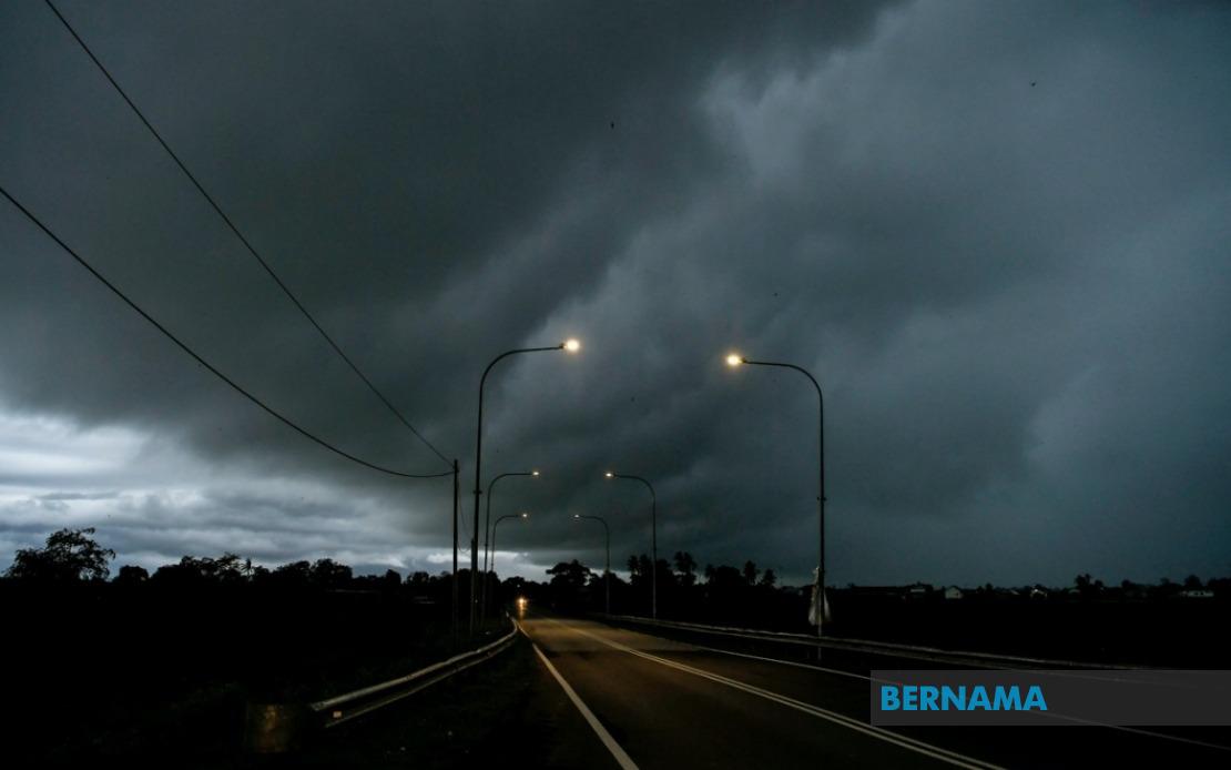
The Malaysian Meteorological Department issued an urgent weather alert on July 11, warning of dangerous thunderstorm activity, intense rainfall and gusty conditions affecting multiple districts across the northern, central and southern regions of Peninsular Malaysia. The adverse conditions are forecast to remain in effect until noon on the day of the announcement, prompting authorities to urge public vigilance across the impacted zones.
The northern state of Kedah faces the most comprehensive warning, with the meteorological body identifying four districts requiring heightened preparedness. The areas of Kota Setar, Pokok Sena, Yan and Pendang are all expected to experience the full brunt of the weather system, bringing risks of flash flooding in low-lying areas and potential disruptions to transport networks. Residents in these districts were advised to secure loose outdoor items and avoid unnecessary travel during peak storm activity.
The central state of Perak is similarly affected, with three districts in the state's northern and coastal regions placed under alert. Manjung, Bagan Datuk and Hilir Perak—areas that encompass both industrial zones and residential communities—face heightened risk from the combination of heavy precipitation and strong wind gusts. These districts, particularly those closer to the coast and in low-lying plains, are vulnerable to water accumulation and potential inundation during intense rainfall episodes.
Negeri Sembilan's south-central districts of Rembau and Tampin are positioned directly in the weather system's path, making them susceptible to flooding hazards that could affect road connectivity and utilities. The state's topography, characterised by rolling terrain and drainage systems that can quickly become overwhelmed during torrential downpours, necessitates resident awareness and preparedness measures.
Melaka has been placed under the same weather warning regime, with the entire state potentially facing thunderstorm activity and heavy rain. Given Melaka's relatively low elevation and proximity to coastal areas, the combination of strong winds and intense rainfall presents particular challenges for infrastructure and public safety.
Southern Johor experiences the most fragmented alert pattern, with six individual districts flagged for dangerous conditions. Tangkak, Muar, Batu Pahat, Pontian, Kulai and Johor Bahru represent a significant swathe of the state's population centres and economic zones. These areas, spanning from the interior to the southern coast, encompass both rural communities dependent on agricultural activities and major urban agglomerations where disruptions carry broader economic implications.
The concentration of warnings across such geographically dispersed zones underscores the scale and severity of the weather system affecting the peninsula. The simultaneous alerts in five states suggest a robust low-pressure system or convergence zone bringing moisture from surrounding waters, a pattern familiar during Malaysia's monsoon transition periods and inter-monsoon phases.
MetMalaysia's emphasis on public vigilance reflects standard protocol for situations where multiple hazards—lightning, wind damage and flooding—can occur simultaneously. Thunderstorms of this magnitude present dangers beyond simple rainfall, particularly lightning strikes that threaten outdoor work, construction sites and recreational activities. The strong winds component, while often overshadowed by rainfall warnings, poses risks to structures, power lines and transportation infrastructure.
Residents across all affected districts were explicitly directed to monitor MetMalaysia's official communication channels for updates and refined forecasts. In the Malaysian context, where rapid changes in localised weather patterns are common, such real-time information becomes critical for decision-making regarding school attendance, commercial operations and public transportation schedules. The department typically provides hourly or three-hourly updates when active severe weather warnings remain in force.
The practical implications of such warnings extend beyond immediate storm preparedness. Flooding from intense rainfall can contaminate water supplies, disrupt electrical services and render roads impassable for hours or days depending on drainage efficiency and water depth. For businesses and supply chains, particularly those operating time-sensitive logistics in Johor's port cities or Perak's industrial corridor, such interruptions carry significant financial consequences.
For agricultural communities in Kedah, Perak and rural Johor, the warning presents a mixed scenario. While heavy rain is generally beneficial for crop cultivation, thunderstorm activity with strong winds can damage standing crops, strip fruits and vegetables before harvest, and create waterlogging conditions detrimental to certain plant types. Farmers in these regions are typically experienced in weathering such events, but advance notice allows for protective measures such as securing equipment and harvesting ripe produce before storm arrival.
The geographic distribution of the alert—spanning three macroregions from Kedah southward to Johor—suggests this is a significant weather system warranting public attention and preparedness. The midday deadline provided residents with a specific timeframe within which to remain especially cautious, after which the meteorological department would presumably issue updated guidance based on system movement and intensity evolution.

