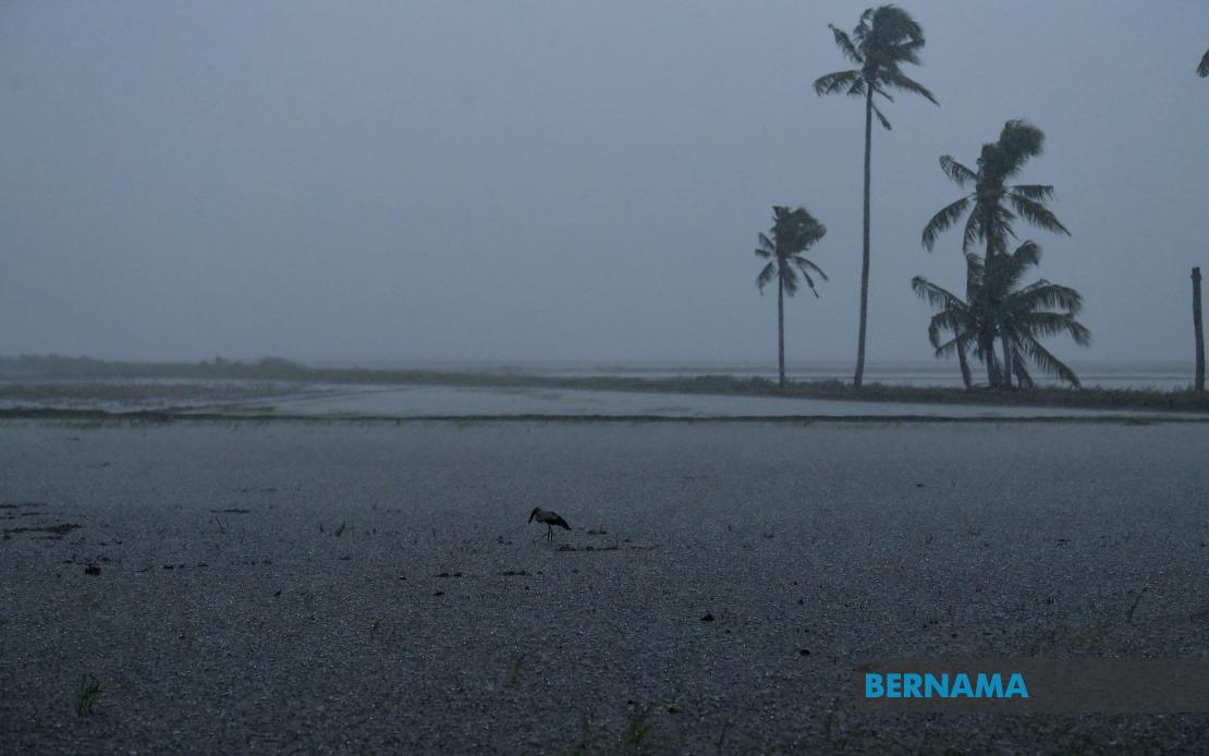
The Malaysian Meteorological Department issued a severe weather alert on Wednesday covering an extensive area of the country, cautioning residents across six states and Labuan of dangerous atmospheric conditions anticipated to develop through 2 pm. The warning reflects typical monsoon-season instability affecting multiple regions simultaneously, a pattern that frequently impacts daily activities, transport and utilities across Malaysia's populated zones.
In Perak, the most affected state within the warning zone, residents in Kerian, Bagan Datuk and Hilir Perak face the brunt of the incoming weather system. These predominantly coastal and low-lying districts are particularly vulnerable to flash flooding and water accumulation during intense rainfall events, as their drainage infrastructure often becomes overwhelmed when precipitation rates spike sharply. The timing of such warnings allows households and businesses in these areas to implement precautionary measures, including securing loose outdoor items and preparing for potential water ingress.
Across Selangor, two key population centres come into the alert zone: Sabak Bernam in the northern reaches and Kuala Selangor along the coast. Both districts experience regular seasonal thunderstorm activity, yet the specific issuance of a formal warning indicates meteorologists detected conditions more severe than routine afternoon convection. For commuters utilising the major highway network connecting these areas to Kuala Lumpur, visibility reductions and wet road surfaces will demand extra driving caution during the warning period.
Negeri Sembilan's interior districts of Jempol and Tampin, located in the state's southern region, also fall under the advisory. These areas, characterised by elevated terrain and valleys, occasionally experience localised flooding in low-lying segments when rainfall intensifies. Similarly, Alor Gajah and Jasin in Melaka, positioned along the state's eastern boundary, regularly encounter such weather patterns as the southwest monsoon delivers moisture-laden air masses across the peninsula.
Johor's Kota Tinggi represents another significant population and economic centre now under alert status. The district's mix of residential development, agricultural land and industrial zones makes it particularly exposed to weather-related disruptions affecting commerce and daily routines. The convergent nature of weather systems affecting these diverse southern regions underscores how meteorological hazards transcend state boundaries and administrative jurisdictions.
Sabah experiences a somewhat more complex forecast subdivision. The Interior Division—encompassing Kuala Penyu and Beaufort—along with the densely populated West Coast Division covering Papar, Putatan, Penampang, Kota Kinabalu, Tuaran and Kota Belud faces the severe conditions. Kota Kinabalu's position as Sabah's primary commercial and administrative hub means disruptions there ripple across broader economic activity in Malaysian Borneo. The inclusion of Kudat in the northern reaches of the state indicates the weather system's broad geographical footprint extending across the peninsula and into East Malaysia.
Thunderstorms accompanied by heavy rainfall and strong winds pose multifaceted challenges for affected communities. Enhanced precipitation risks flooding in drainage-compromised areas, while powerful gusts threaten overhead infrastructure including power lines, telecommunications networks and signage. Wind-driven rain penetrates building envelopes inadequately sealed or maintained, particularly in older residential structures. Schools, markets and outdoor commercial activities often close or curtail operations during such warnings, creating short-term economic costs through lost business hours and reduced productivity.
The afternoon timeframe indicated by the 2 pm deadline suggests meteorologists anticipate the atmospheric instability gradually dissipating as heating cycles diminish through late afternoon and evening. However, residents should monitor updates from MetMalaysia, as severe weather systems occasionally persist beyond initial forecasts or generate secondary rounds of convection. The department's advisory system, refined over decades of tropical weather monitoring, balances specificity with reasonable confidence margins; warnings aim to provide actionable lead time without excessive false alarms that erode public preparedness habits.
For affected states and territories, this represents a manageable alert rather than catastrophic warning levels, yet it underscores Malaysia's ongoing vulnerability to monsoon-driven extreme weather. The multiplicity of regions receiving simultaneous warnings reflects how coherent pressure systems and moisture corridors create broadly synchronised impacts across the nation. Residents in listed districts would be prudent to secure outdoor furnishings, avoid unnecessary travel during peak warning hours, ensure drainage channels remain clear, and keep emergency contact information readily accessible. Such routine precautions, multiplied across hundreds of thousands of households, substantially reduce injury, property damage and disruption associated with tropical thunderstorm activity.

