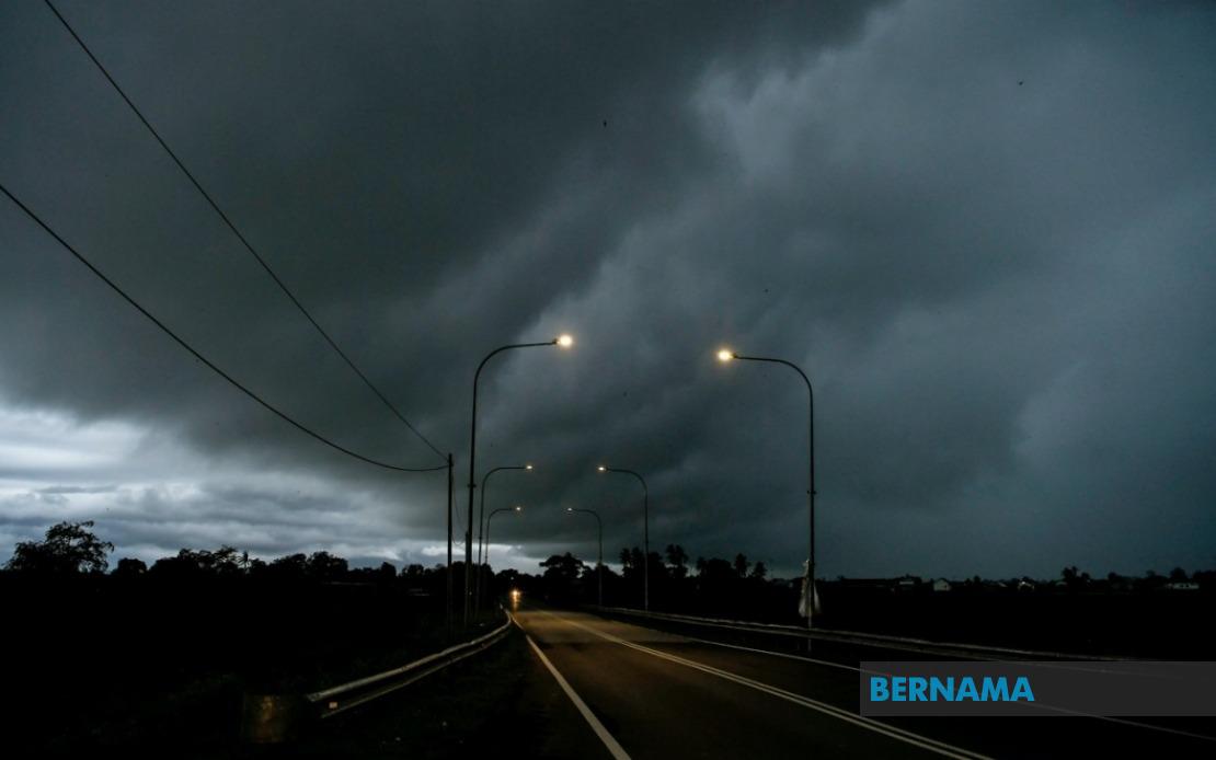
The Malaysian Meteorological Department has activated widespread weather alerts across Peninsular Malaysia as atmospheric conditions favour the development of thunderstorms, heavy precipitation, and dangerous wind conditions. The alert, issued on August 18, covers multiple districts and cities through the midday hours, prompting residents and commuters to exercise caution during the dangerous weather window.
The northern region faces particular exposure, with Kedah's districts of Kuala Muda and Yan specifically identified as danger zones alongside the entire state of Penang. The alert reflects meteorological projections that these coastal and low-lying areas face heightened risk from moisture-laden air masses colliding with local topography, a pattern common during Malaysia's monsoon transition periods.
Central Peninsular Malaysia also enters the alert zone, with the Selangor districts of Klang, Kuala Langat, Sepang, Kuala Selangor, Petaling, Sabak Bernam, and Gombak all designated as vulnerable. This widespread coverage across Selangor is particularly significant given the region's dense population and major transportation corridors. The alert encompasses areas hosting critical infrastructure, including major highways and commercial hubs, where sudden severe weather can disrupt normal operations and strand commuters.
The nation's twin federal territories of Kuala Lumpur and Putrajaya have also been placed under alert status. Given their role as centres of government and commerce, any disruption carries implications beyond immediate public safety, potentially affecting administrative functions and business continuity.
Peningkat risk extends into Perak, where the meteorological department has split its alert into two temporal phases. Several districts including Kerian, Larut, Matang and Selama, Manjung, Perak Tengah, and Hilir Perak face heightened danger through 1 pm, suggesting meteorologists anticipate storm systems tracking through the state at staggered intervals rather than arriving as a single unified weather front.
Thunderstorm warnings of this geographic scope indicate atmospheric instability sufficient to generate hazardous conditions across a broad region simultaneously. The combination of heavy rain, strong winds, and lightning creates compounded risks. Heavy downpours can overwhelm drainage systems in urban areas, flooding low-lying neighbourhoods and disrupting vehicular traffic. Wind gusts accompanying thunderstorms pose risks to structures and vegetation, potentially downing trees and power lines.
For commuters and travellers, the alert period coincides with peak morning activity. The timeframe through noon suggests conditions may persist through the late morning rush hour and lunch period. Motorists navigating affected areas should anticipate reduced visibility, slippery road conditions, and potential flash flooding at underpass locations. Public transportation operators may experience service delays or disruptions depending on storm intensity and duration.
The specificity of the alert—naming individual districts and setting precise expiration times—reflects modern meteorological capability to forecast severe weather with reasonable spatial and temporal precision. This granularity allows residents and authorities in affected areas to activate protective measures while those outside alert zones maintain normal operations. However, the relatively compressed warning window of several hours emphasises the importance of staying informed through official channels.
MetMalaysia's dual-tier alert structure, with different areas and timeframes, indicates meteorologists are tracking storm development with sufficient detail to distinguish between different geographic sectors. The longer alert period for certain Perak districts suggests those areas may face repeated wave-like thunderstorm systems rather than a single passing event. This distinction matters for emergency preparedness, as prolonged exposure to repeated storms poses greater cumulative risk than a singular severe weather passage.
For Malaysian businesses and government agencies, such alerts create planning challenges. Operations in affected areas must weigh the inconvenience of closures or modified schedules against potential risks to staff safety and asset security. Schools and educational institutions in alert zones must consider whether outdoor activities should be postponed. Healthcare facilities in affected regions should prepare for weather-related injuries and ensure backup power systems remain operational.
The pattern of alerts across Peninsular Malaysia reflects the region's geography and seasonal meteorology. The peninsula's location within tropical latitudes, combined with mountain ranges and coastal exposure, creates zones of convergence where weather systems intensify. During certain seasons, particularly monsoon transitions, these atmospheric conditions become routine, though individual storm events vary in severity.
Residents and workers in alerted areas should monitor weather updates throughout the warning period, as conditions may intensify or subside faster than anticipated. Those commuting or working outdoors should adopt protective measures including seeking shelter during active thunderstorms and avoiding water-filled or flood-prone areas. The alert reinforces the importance of maintaining situational awareness during Malaysia's tropical weather season.

