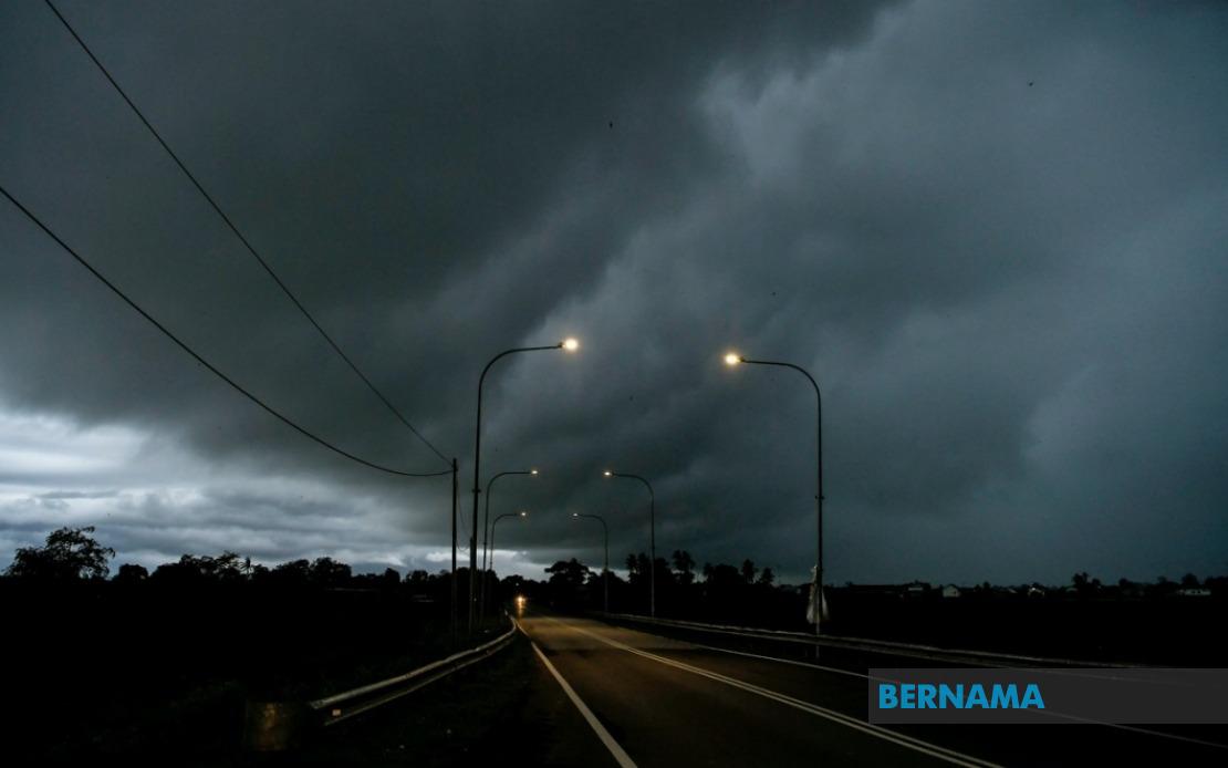
The Malaysian Meteorological Department has issued a widespread weather alert covering nine states, the federal territories of Kuala Lumpur and Putrajaya, as meteorological conditions deteriorate throughout the peninsula and East Malaysia. The forecasted thunderstorms, accompanied by heavy rainfall and gusty winds, are expected to impact the affected regions until 6 pm, prompting authorities to advise residents and commuters to exercise caution during the remainder of the day.
On peninsular Malaysia's west coast, Selangor faces particularly broad exposure to the inclement conditions. The affected areas in the state encompass both urban and suburban zones, including Sabak Bernam, Kuala Selangor, and the Klang Valley districts of Gombak, Petaling, and Sepang, alongside the highland regions of Hulu Selangor and Hulu Langat. This geographic spread reflects the unpredictable nature of the weather system, which is expected to generate localised flash flooding risks in low-lying areas and potentially disrupt transportation networks during peak evening traffic periods.
Perak's extensive interior and lowland districts are similarly positioned within the warning zone. The alert encompasses Hulu Perak's remote settlements, the tin-mining heritage towns of Kuala Kangsar and Kinta, the agricultural heart of Kampar, the riverine zones of Hilir Perak, and the mountainous Muallim region. The state's topography, characterised by river valleys and undulating terrain, creates conditions whereby intense rainfall can rapidly translate into flash flooding, particularly affecting communities near watercourses.
The eastern peninsular states of Kelantan and Terengganu face similar exposure across their respective districts. In Kelantan, the vulnerable zones span from the coastal Tumpat region through the interior towns of Pasir Mas, Tanah Merah, and Gua Musang, encompassing both maritime and inland populations. Terengganu's threatened areas range from the northern Setiu district through the state capital and its surrounding regions to the southern Kemaman district, creating a corridor of risk along the east coast.
Pahang, Malaysia's largest peninsular state, experiences perhaps the most geographically dispersed alert coverage. The warning extends across the state's interior plateau regions around Cameron Highlands, the central highlands town of Bentong, the Chini wetlands area of Bera, the state capital Kuantan and its administrative hinterland, and extends southward to encompass the coastal districts of Pekan and Rompin. This expansive coverage reflects Pahang's vulnerability to both orographic precipitation in its highland regions and coastal weather patterns affecting its eastern shoreline.
Negeri Sembilan and Johor, occupying Malaysia's southern peninsular territories, complete the west coast and southern exposure. Both states represent major economic zones with dense population concentrations and critical infrastructure installations that require particular vigilance during severe weather episodes. The disruption potential extends beyond residential areas to encompass industrial parks, port facilities, and transportation corridors vital to Malaysia's regional economic role.
East Malaysia faces similarly extensive challenges. Sarawak's alert zone encompasses the capital Kuching and extends across the interior divisions through Sibu, Mukah, Kapit, and reaches northeastward to encompass the rapidly developing zones of Bintulu, Miri, and the federal border district of Limbang. The inclusion of Miri's multiple sub-districts reflects the weather system's penetration into Sarawak's northeastern regions.
Sabah's affected zones span the state's principal geographic divisions. The interior plateau areas of Sipitang, Tenom, Beaufort, Nabawan, Keningau, and Tambunan face threats from orographic precipitation and potential landslip risks in steep-sided valleys. The west coast zone encompassing Papar, Penampang, Kota Kinabalu's metropolitan area, Tuaran, and the highland district of Ranau represents the state's densest population concentration. The additional inclusion of Sandakan division's eastern zones—Tongod, Telupid, Beluran, and Sandakan town itself—creates a geographic arc of vulnerability spanning most of Sabah's populated regions.
The temporal constraint until 6 pm represents a crucial planning window for affected communities. Evening rush hour traffic, agricultural activities, construction operations, and other outdoor commercial activities must anticipate conditions that could rapidly deteriorate. The combination of thunderstorms with heavy precipitation and strong winds creates compounding hazards including reduced visibility, aquaplaning risks on roadways, and potential structural damage to inadequately secured outdoor installations.
Transportation authorities across multiple states are monitoring conditions closely, recognising that thunderstorm warnings historically correlate with increased accident frequencies and congestion as motorists exercise heightened caution. Public transport operators may implement service modifications or temporary suspensions if wind speeds reach operational safety thresholds. Aviation authorities likewise maintain heightened alertness regarding the trajectory and intensity of the developing weather system.
The geographical breadth of this alert—encompassing roughly 60 percent of Malaysia's landmass and approximately 70 percent of its population—underscores the scale of the weather phenomenon. The simultaneous impact across both peninsular and East Malaysian territories suggests a significant monsoon feature or organized convective system rather than isolated localised thunderstorms. Residents in affected areas are advised to remain indoors during periods of intense electrical activity, secure loose outdoor objects, and avoid unnecessary travel until conditions stabilize following the 6 pm expiry window.

