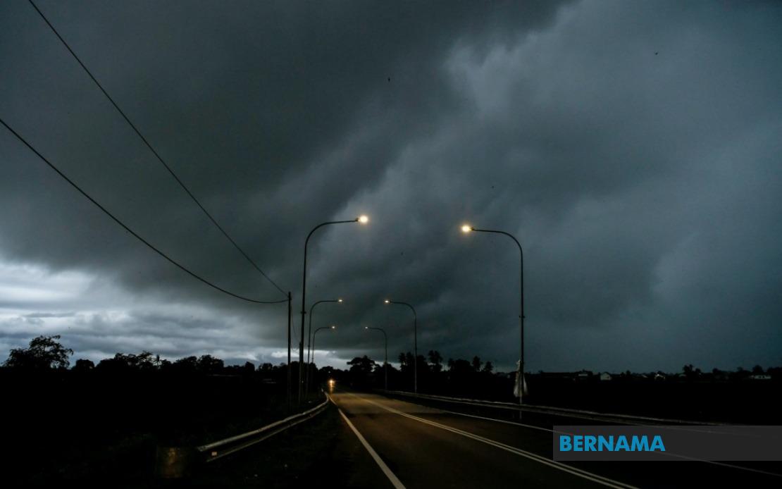
Malaysia's Meteorological Department has activated a nationwide weather alert spanning multiple states and districts from the peninsula to East Malaysia, warning residents of intense thunderstorms, torrential rain, and dangerous wind gusts expected to persist until 6 pm. The alert underscores the volatile atmospheric conditions that regularly grip the country during monsoon and inter-monsoon periods, creating immediate risks for transportation, outdoor activities, and infrastructure.
The northern peninsula faces particular vulnerability under the advisory. Perlis remains entirely within the warning zone, while Kedah's exposure covers the districts of Padang Terap, Kuala Muda, Sik, Baling, Kulim and Bandar Baharu. Across the border in Perak, ten districts including Kerian, Larut, Matang and Selama, Hulu Perak, Kuala Kangsar, Kinta, Kampar, Batang Padang and Muallim have been flagged, creating a continuous band of hazardous weather extending from the Thai border southward.
Eastern peninsular states face equally serious conditions. The entire state of Terengganu remains under alert, reflecting the region's exposure to frontal systems and moisture flows from the South China Sea. Kelantan's warning encompasses seven districts—Pasir Mas, Jeli, Tanah Merah, Machang, Pasir Puteh, Kuala Krai and Gua Musang—covering both lowland areas prone to flash flooding and highland zones vulnerable to landslides. Pahang's situation extends across eight districts spanning the west coast plains to the central highlands, including the popular tourist destination Cameron Highlands, where heavy precipitation poses risks to visitors and local infrastructure.
The central region's exposure remains limited but significant. In Selangor, only Hulu Selangor district faces the warning, reflecting more localized instability in this predominantly west-facing zone. However, southern Johor experiences broader impacts, with seven districts—Batu Pahat, Kluang, Mersing, Pontian, Kulai, Kota Tinggi and Johor Bahru—falling within the alert area. This southern concentration reflects weather systems tracking across the Strait of Johor and the surrounding maritime environment.
East Malaysia faces comparably widespread disruption. Sarawak's affected zones stretch across both northern and central divisions, encompassing Kuching's districts of Bau and Kuching city proper, the southern Betong division including Saratok and Kabong, the central coastal area of Sarikei, and the Sibu division comprising Sibu and Selangau. The northern regions of Miri division including Subis, Beluru, Miri and Marudi, alongside Limbang, round out Sarawak's exposure alongside Mukah and Bintulu in the central division. This expansive coverage suggests a coherent weather system affecting much of the state.
Sabah's interior and eastern zones face comparable peril. The Interior division encompasses Sipitang, Tenom, Kuala Penyu, Beaufort and Tambunan, while the densely populated West Coast region remains under heightened alert. Sandakan's Beluran district on the east coast and Kudat in the far north complete Sabah's warning footprint, affecting territories spanning from the mountainous interior to maritime zones.
Thunderstorm warnings of this geographic scope carry substantial operational implications. Aviation authorities typically implement ground stops or restricted operations, transport operators navigate reduced visibility and hazardous surfaces, and construction sites suspend work to prevent worker exposure to lightning strikes. Public utilities brace for potential power outages from lightning damage or fallen debris on transmission lines. Hospitals activate protocols for treating weather-related injuries including lightning strikes, vehicle accidents from aquaplaning, and trauma from flying debris.
The temporal concentration—a single afternoon window until 6 pm—suggests an organized weather system rather than scattered convection. This pattern typically emerges from cold surges penetrating from the north, sea-breeze convergence zones where opposing moisture flows collide, or the tail end of departing frontal systems. Such systems often generate isolated tornadoes alongside straight-line wind events and hail. Residents in these zones should monitor official updates closely, as conditions may either intensify or dissipate more rapidly than forecast.
For Malaysian citizens and regional observers, such alerts remain routine during seasons of atmospheric instability but demand respect. Modern meteorological guidance has substantially improved the warning window and accuracy compared to prior decades, yet severe thunderstorms retain inherent unpredictability. Communities in affected areas should secure loose outdoor items, avoid flood-prone routes, refrain from unnecessary outdoor activities, and remain alert to official communications from state and federal authorities throughout the alert period.

