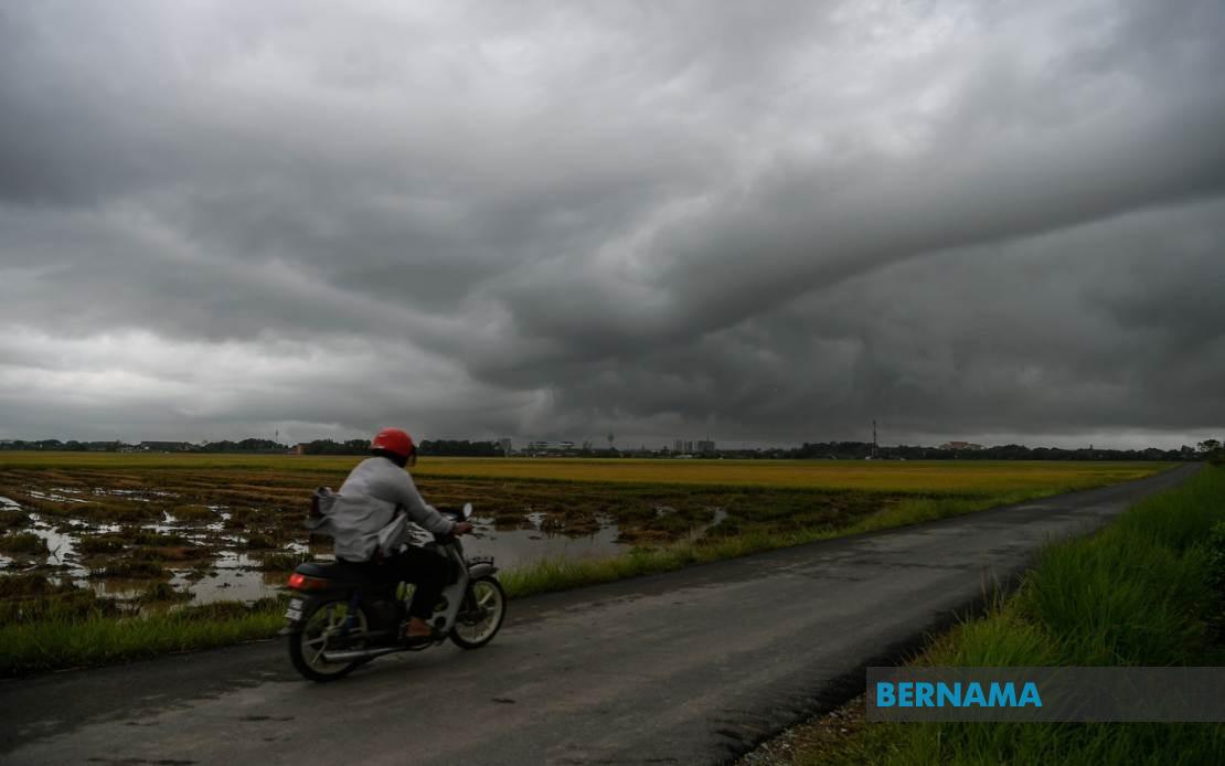
The Malaysian Meteorological Department issued a widespread alert on July 15 warning residents and travellers across Malaysia to prepare for dangerous weather conditions. Thunderstorms, heavy downpours and powerful winds are expected to sweep through multiple regions simultaneously, with the alert remaining in effect until 9 pm. The advisory encompasses a substantial portion of the country, reflecting the scale and severity of the atmospheric disturbance affecting Malaysian airspace.
In the northern states, Kedah faces significant risk across four key districts: Kuala Muda, Baling, Kulim and Bandar Baharu. Penang is equally affected, with warnings covering the Northeast district alongside the three Seberang Perai administrative divisions—Utara, Tengah and Selatan. These densely populated areas, including major urban centres and outlying regions, are bracing for rapid weather deterioration that could disrupt transportation networks and daily activities for millions of residents in the economic heartland of northern Malaysia.
Perak, positioned as a transition zone between the peninsula's north and central regions, faces threats across nine distinct areas. The affected districts stretch from Kerian and Larut, Matang and Selama in the lower plains to Hulu Perak in the interior, encompassing Kuala Kangsar, Kinta, Kampar and Batang Padang. The geographic spread suggests the storm system has developed sufficient intensity to impact both coastal and inland zones throughout the state. Kelantan's situation is particularly severe, with the warning extended across all administrative districts, indicating meteorologists expect the entire state to experience the hazardous conditions simultaneously.
Terengganu and Pahang, bordering the South China Sea, represent critical concern areas. In Terengganu, six districts face the threat: Besut and Hulu Terengganu in the north, along with Kuala Terengganu, Marang, Dungun and Kemaman distributed throughout the state. Pahang's warnings cover Cameron Highlands, the highland tourism destination popular with domestic and international visitors, alongside Lipis, Jerantut, Kuantan, Pekan and Rompin. These regions experience thunderstorms regularly given their geography, but official warnings indicate conditions expected to exceed typical afternoon convection patterns.
Southern Peninsular Malaysia is similarly threatened, with eight Johor districts under alert. Tangkak, Segamat and Muar inland, combined with coastal and eastern zones including Mersing, Kluang, Kulai, Kota Tinggi and Johor Bahru, suggests the disturbance extends across the entire state. Johor's geographic position makes it susceptible to weather systems from multiple directions, and simultaneous warnings across such diverse districts indicates a substantial organised weather pattern rather than isolated thunderstorm cells.
The alert extends beyond Peninsular Malaysia into East Malaysia, demonstrating the remarkable scale of this weather event. In Sarawak, five divisions face warnings: Sibu and Mukah covering the coastal and riverine districts of Matu, Dalat and Mukah proper; Kapit encompassing Song; Bintulu including Tatau; and Miri stretching across Beluru, Miri and Marudi. These diverse regions, spanning coastal lowlands to interior areas dependent on riverine transport, face disruption to shipping lanes and river navigation during a critical evening period.
Sabah similarly experiences broad coverage spanning both the Interior Division and West Coast Division. The Interior Division alerts cover Sipitang, Kuala Penyu, Beaufort and Tambunan, while the West Coast region faces warnings for Papar, Penampang and Ranau. Additionally, the Federal Territory of Labuan, positioned strategically between Sabah's coast and Sarawak, falls under the alert zone. The simultaneous coverage across Sabah's diverse terrain, from coastal plains to mountainous interior regions, underscores the power of the atmospheric system generating these warnings.
Thunderstorm warnings of this geographic scope represent significant meteorological events requiring public attention and appropriate precautions. Residents in affected areas should remain alert for rapidly changing conditions, as thunderstorms can produce damaging wind gusts, intense rainfall leading to flash flooding, and lightning hazards. Transport users, particularly those on highways, maritime routes and rural roads, face heightened accident risks during reduced visibility and slippery conditions. Outdoor activities and construction works should be postponed or suspended in affected regions until the warning expires.
For Malaysian and Southeast Asian observers, such broad weather warnings reflect the region's position within tropical and subtropical atmospheric circulation patterns. The monsoon transition periods typically generate organised convective systems affecting multiple states simultaneously. Residents and businesses in affected areas should monitor MetMalaysia updates regularly, as alerts may be extended or intensified depending on system evolution. The evening timeframe specified—until 9 pm—aligns with typical diurnal heating patterns, though organised thunderstorm systems can persist beyond these windows, potentially justifying alert extensions.

