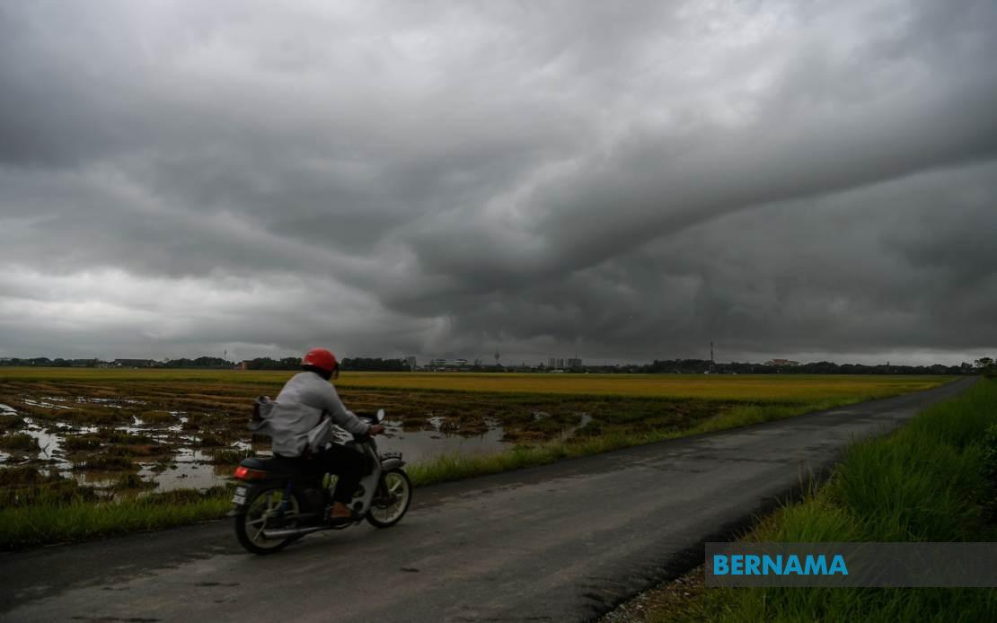
Malaysia's Meteorological Department issued a significant weather alert on July 4, cautioning residents across eight states to prepare for dangerous conditions including thunderstorms, torrential rain, and powerful wind gusts expected to peak until 6 pm. The advisory covers a broad geographic span stretching from the northern peninsula through to the eastern Malaysian states, reflecting the scale of atmospheric disturbance anticipated to sweep across the country.
In the northern region, Kedah faces the most extensive warnings, with five districts placed on alert: Kota Setar, Yan, Pendang, Kuala Muda, and Sik. These areas, which form the backbone of Kedah's agricultural and commercial sectors, would experience particular vulnerability given the potential for flash flooding in low-lying agricultural plains and urban drainage systems. The Perak alert encompasses both Manjung, a coastal and industrial district, and Perak Tengah, a central region with significant population concentration, both prone to water accumulation during intense downpours.
Terengganu's Kemaman district, situated on the east coast and known for its fishing industry and port operations, faces disruption to maritime activities and potential coastal impacts from the severe weather system. Similarly, Kuantan in neighbouring Pahang, the state's largest district and economic hub, stands at risk from weather-related infrastructure challenges and transportation disruptions. The warning extends into the Klang Valley region via Hulu Langat in Selangor, a rapidly developing area vulnerable to flash floods in both urban settlements and surrounding highlands due to its topographical characteristics.
Negeri Sembilan's inclusion encompasses Jelebu and Seremban, with the latter being the state capital and administrative centre. These districts, positioned along major transportation corridors linking the northern and southern regions of Peninsular Malaysia, would experience potential congestion if roads become waterlogged or landslides occur in surrounding terrain. The warning's extension into the peninsula's interior highlights the meteorological department's concern regarding widespread atmospheric instability rather than isolated weather pockets.
The East Malaysian component of the alert reflects equally serious conditions affecting Sarawak and Sabah. In Sarawak, Sarikei and its associated Sibu region represent major commercial and agricultural centres where weather disruptions would impact palm oil operations and riverside communities. Mukah, encompassing Tanjung Manis and Daro, contains critical maritime and fishing interests that would face operational challenges during the severe weather period. These districts collectively represent significant portions of Sarawak's economic output and population concentration.
Sabah's affected areas span three administrative divisions, indicating the severity of atmospheric conditions anticipated across the state. The Interior Division, comprising Keningau and Tambunan, encompasses highland agricultural regions where heavy rainfall poses landslide risks and threatens farming communities. The West Coast Division areas of Papar and Penampang form part of the state's populated coastal and near-coastal zones with commercial and residential development susceptible to water accumulation. Sandakan's Kinabatangan district encompasses both coastal and interior regions historically prone to seasonal weather impacts.
The meteorological department's decision to issue warnings across such geographically dispersed regions underscores the intensity and scale of the weather system. Rather than representing isolated thunderstorm activity, the alert signals a coordinated atmospheric pattern capable of producing simultaneous hazardous conditions across multiple states. For Malaysian residents and authorities, such comprehensive warnings necessitate immediate precautions including securing property, avoiding unnecessary travel, and monitoring official updates throughout the afternoon.
The timing of the alert, with conditions expected to persist until 6 pm, suggests a meteorological event with defined duration parameters. Communities should remain vigilant during this window, as thunderstorms accompanied by heavy rainfall and strong winds create compounded hazards including flying debris, reduced visibility, and potential structural damage. Flash flooding represents perhaps the most immediate concern given the intensity of rainfall anticipated, particularly in urban areas with drainage infrastructure limitations and rural regions lacking such systems entirely.
For emergency services and local authorities across all eight states, the alert triggers established severe weather protocols. Response teams typically pre-position resources, activate emergency communications systems, and prepare for rapid deployment to areas experiencing flooding, landslides, or infrastructure damage. The comprehensive nature of the warning ensures coordination across state boundaries, particularly relevant in Peninsular Malaysia where weather systems often migrate southward or laterally through multiple jurisdictions during the course of a single day.
Businesses, transportation operators, and public services should implement contingency plans acknowledging the operational constraints imposed by severe weather until the alert expires. School activities, commercial operations, and outdoor events scheduled during the warning period warrant review to minimize exposure to dangerous conditions. The agricultural sector, particularly relevant in states like Kedah, Perak, and Sarawak, faces potential crop damage from excessive rainfall and wind gusts capable of damaging plantations and disrupting harvesting schedules.